
Introducing a transformative approach to Wind energy operations, our Drone Services at RIS Group redefine precision, safety, and efficiency through advanced aerial technologies.
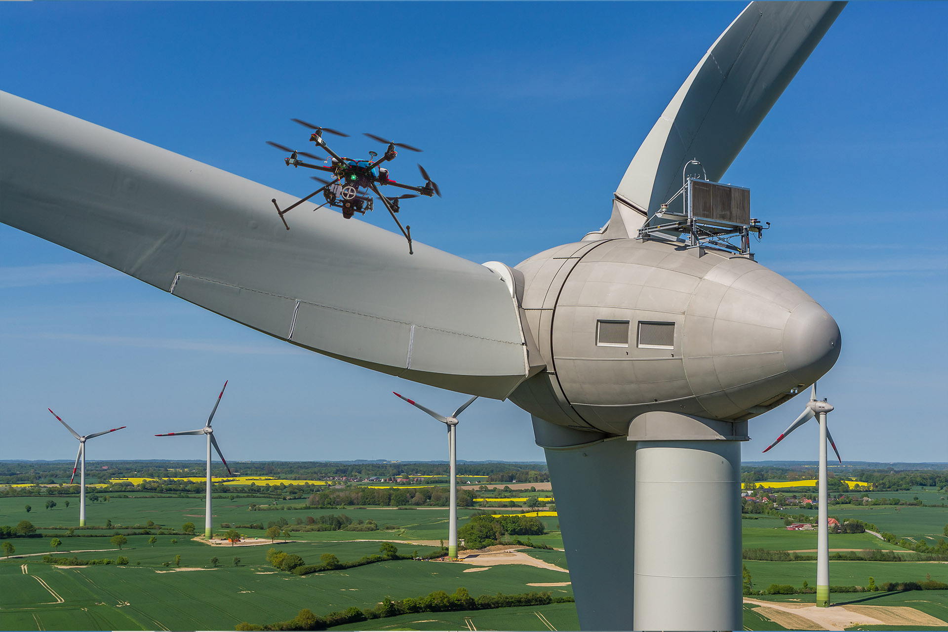
- Advanced Aerial Inspections:
Utilizing high-resolution cameras and sensors, our drones conduct detailed inspections of wind turbines and infrastructure, enhancing accuracy and expediting data collection without manual intervention.
- Efficient Surveys and Mapping:
With advanced mapping technologies like LiDAR and photogrammetry, our drones create detailed 3D models and maps of terrain, supporting site planning, project design, and ongoing monitoring for informed decision-making.
- Comprehensive Project Monitoring:
Real-time visibility into construction, installation, and maintenance activities allows for proactive decision-making and ensures project timelines are met.
- Environmental Impact Assessments:
Detailed assessments capture data on vegetation, wildlife, and ecosystems, informing sustainable practices and environmental stewardship.
- Precision Data for Maintenance and Repairs:
Equipped with specialized tools and sensors, drones facilitate targeted inspections, guiding effective maintenance interventions.
- Enhanced Safety and Risk Mitigation:
By minimizing the need for personnel to work at heights, drones reduce safety risks associated with traditional inspection methods.
- Flexible Applications Onshore and Offshore:
Agile drones cater to tasks in both onshore and offshore projects, navigating turbine components and surveying expansive installations.
- Regulatory Compliance and Expert Pilots:
Our drone operations adhere to aviation regulations, with certified pilots ensuring safe and legal operations.